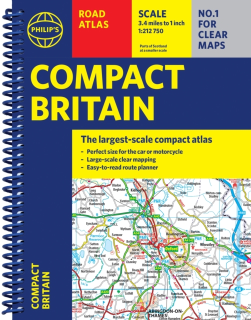
Philip's Compact Britain Road Atlas
(A5 Spiral)
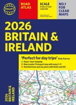
(Author) Philip's MapsNewly updated in a handy spiral-bound lie-flat format, Philip's Compact Britain Road Atlas features the super-clear digital cartography, which was voted Britain's clearest and most detailed mapping in an independent consumer survey. All of Great Britain in a super-clear set of maps specially created to fit in a glovebox, bag, backpack or motorcycle tank bag, with resilient lie-flat binding to ensure you have the detail you need and never get lost. A route planning section will help you navigate around the island easily and every part of Britain is clearly mapped. - Chunky 'glovebox' format - perfect for the car or backpack - Lie-flat spiral binding and A5 size - ideal for a motorcycle tank bag - Completely updated and revised with the latest information - Compact and great value for money - The clearest, most detailed road maps in a compact format - Complete coverage of Great Britain at 3.3 miles to 1 inch - Includes a 6-page route-planning section - Spiral binding for robust, long-lasting use
Philip's Maps
Philip's Maps is a renowned cartographer known for creating detailed and accurate maps of various regions around the world. Their most notable works include maps of cities, countries, and continents, which are highly regarded for their precision and clarity. Philip's Maps has made significant contributions to the field of geography and navigation through their meticulous attention to detail and dedication to producing high-quality maps. Their work has had a lasting impact on the world of cartography and has become an invaluable resource for travelers, researchers, and historians. One of their most famous works is the World Atlas, which remains a staple in libraries and educational institutions worldwide.
Other related
Philip's RGS World Atlas (A4)
with Global Cities, Facts and Flags

2026 Philip's Big Road Atlas of Britain & Ireland
(A3 Paperback)
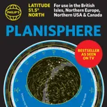
Philip's Planisphere (Latitude 51.5 North)
For use in Britain and Ireland, Northern Europe, Northern USA and Canada