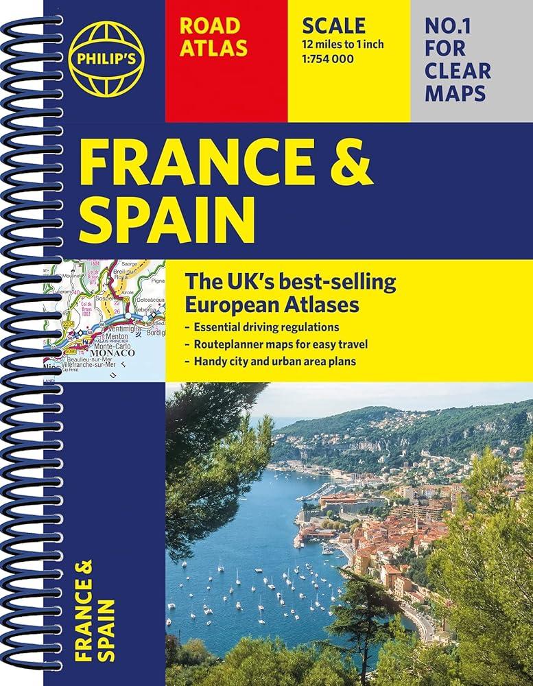
Philip's France and Spain Road Atlas
A4 Spiral
(Author) Philip's MapsThe latest edition of Philip's France and Spain Road Atlas, in a handy spiral A4 format, is the must-have atlas for anyone travelling or driving in these and the adjacent countries including Belgium, Luxembourg and Portugal. From the market leaders in European Road Mapping, in addition to the main maps at 1:750,000, the road network is shown at three supplementary scales from 1:250,000 to 1:3M, with ultra-clear detailed maps for urban areas, so that you can navigate in this part of Europe with ease. Scenic routes are highlighted on the road maps, with theme parks and World Heritage Sites also clearly shown. The maps highlight towns with low-emission zones and show motorway rest/parking areas, not forgetting handy listings of top sites to visit and useful ski resort information. Philip's France and Spain Road Atlas includes: * Up-to-date driving regulations, including speed limits; * 4 pages of route-planning maps which enable journeys of over 800 miles to be planned without turning a page; * 57 pages of clear, detailed road maps, with scenic routes highlighted and toll, toll-free and pre-pay motorways all clearly marked; * 6 large-scale urban-area maps; * 11 city-centre plans marking historic buildings and tourist attractions, as well as car parks, head post offices and other facilities; * Listings for ski resorts and top visitor attractions.
Philip's Maps
Philip's Maps is a renowned cartographer known for creating detailed and accurate maps of various regions around the world. Their most notable works include maps of cities, countries, and continents, which are highly regarded for their precision and clarity. Philip's Maps has made significant contributions to the field of geography and navigation through their meticulous attention to detail and dedication to producing high-quality maps. Their work has had a lasting impact on the world of cartography and has become an invaluable resource for travelers, researchers, and historians. One of their most famous works is the World Atlas, which remains a staple in libraries and educational institutions worldwide.
Other related
Philip's RGS World Atlas (A4)
with Global Cities, Facts and Flags

2026 Philip's Big Road Atlas of Britain & Ireland
(A3 Paperback)
Philip's Planisphere (Latitude 51.5 North)
For use in Britain and Ireland, Northern Europe, Northern USA and Canada