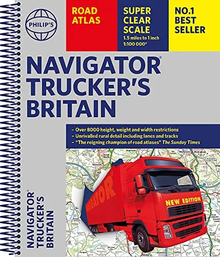
Philip's Navigator Trucker's Britain
Spiral
(Author) Philip's MapsTHE UK'S MOST TRUSTED ROAD ATLAS for anyone driving large vehicles - every bridge height, width and weight limit you could need. 'A map that beats all others' The Daily Telegraph 'Scale, accuracy and clarity are without parallel' Driving Magazine 'No.1 in the UK for clear maps' Independent research survey - Exceptional scale: 1.5 miles to 1 inch = 1:100,000 (Northern Scotland: 3 miles to 1 inch = 1:200,000) - The Road Atlas for the professionals - Over 6,000 bridge heights, nearly 1,500 weight-restricted bridges and over 250 width-restricted bridges -The only road atlas of Britain offers this level of detail and clarity - Super-detailed 6-page route-planning section - Every street in Britain marked on the maps - Over 3000 roads named - 100 indexed town-centre maps plus approaches maps to 12 major urban areas - Exceptional road detail, from motorways to country lanes, with every junction, roundabout and slip-road shown - Thousands of individually named farms, houses and hamlets Philip's Navigator atlases are widely used by professional drivers and the emergency services, including national police training, and is recommended in the motoring press and national newspapers.
Philip's Maps
Philip's Maps is a renowned cartographer known for creating detailed and accurate maps of various regions around the world. Their most notable works include maps of cities, countries, and continents, which are highly regarded for their precision and clarity. Philip's Maps has made significant contributions to the field of geography and navigation through their meticulous attention to detail and dedication to producing high-quality maps. Their work has had a lasting impact on the world of cartography and has become an invaluable resource for travelers, researchers, and historians. One of their most famous works is the World Atlas, which remains a staple in libraries and educational institutions worldwide.
Other related
Philip's RGS World Atlas (A4)
with Global Cities, Facts and Flags
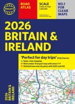

2026 Philip's Big Road Atlas of Britain & Ireland
(A3 Paperback)
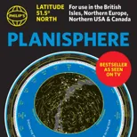
Philip's Planisphere (Latitude 51.5 North)
For use in Britain and Ireland, Northern Europe, Northern USA and Canada