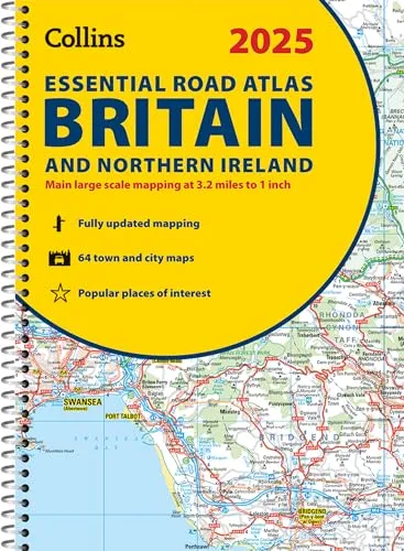
2025 Collins Essential Road Atlas Britain and Northern Ireland
A4 Spiral
(Author) Collins MapsExplore Britain with easy-to-read mapping from Collins. This A4, spiral-bound road atlas provides clear and detailed road mapping for England, Wales and Southern Scotland at a scale of 3.2 miles to 1 inch (1:200,000). For Northern Scotland the mapping is at a scale of 4.2 miles to 1 inch (1:266,000), with land height shown by different layers of coloring. Main features: Route planning section including maps at a scale of 22 miles to 1 inch, motorway services information, and a handy distance calculator chart More than 20 urban approach maps at a larger scale which clearly show the best routes through and into built-up areas 64 street maps focused on town centers showing places of interest, car park locations and one-way streets. All the street maps are fully indexed Over 30 categories of places of interest including castles, theme parks, sports venues, universities, mountain bike trails and surfing beaches The top 1000 most visited places of interest are indexed with full postcodes to aid integration with sat-nav systems Updated Park & Ride locations, new rail stations and extensions to tram lines in Blackpool and Edinburgh This is the ideal purchase for drivers, navigators and route planners who want the very best road atlas of Britain in an A4 format.
Collins Maps
Collins Maps is a renowned publisher of maps and atlases, known for their accurate and detailed cartography. They have produced a wide range of maps covering various regions and topics, including road maps, city maps, and world atlases. Their maps are highly regarded for their clarity and precision, making them a trusted resource for travelers, students, and professionals alike.
Collins Maps' most notable works include the Collins World Atlas and the Collins Road Atlas series. These atlases are considered essential reference tools for geography enthusiasts and are praised for their up-to-date information and comprehensive coverage.
Collins Maps' literary style is characterized by a focus on accuracy, readability, and attention to detail. Their maps are meticulously researched and carefully designed to provide users with the most relevant and useful information.
Overall, Collins Maps has made a significant impact on the field of cartography and geography, setting a high standard for map publishing. Their dedication to quality and innovation has solidified their reputation as a leading authority in the industry.
One of their most famous works is the Collins World Atlas, which has become a bestseller and a staple in libraries, classrooms, and homes around the world.
Other related
Collins School Atlas
Ideal for Learning at School and at Home
Collins Primary Atlas
Ideal for Learning at School and at Home
Collins Handy Road Atlas Ireland
Handy Map of Ireland Using Clear and Detailed Mapping